

The Blaine border crossing area has two principal land crossings: Blaine–Peace Arch and Blaine–Pacific Highway. Use official wait-time tools to compare current passenger-vehicle estimates, then check the entry-document requirements for your citizenship and route.
- Peace Arch is also called Douglas on the Canadian side.
- Pacific Highway is the other principal land crossing serving the area.
- Passenger-vehicle wait estimates and open-lane information are available for Peace Arch and Pacific Highway; estimated waits for travel into Canada are also available.
- Entry requirements differ by direction and traveler, so confirm the rules that apply to you.
Which border crossings serve Blaine?
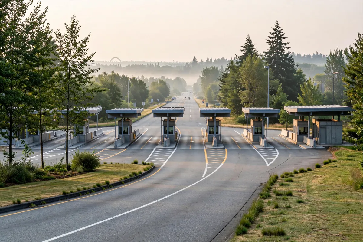
The two principal land crossings in the Blaine area are Blaine–Peace Arch and Blaine–Pacific Highway. On the Canadian side, Peace Arch is also called Douglas, while Pacific Highway retains the same name.
Peace Arch International Monument is a landmark in the border area. The monument and its setting are covered in this guide to Peace Arch International Monument.
How do you check border wait times and operating status?
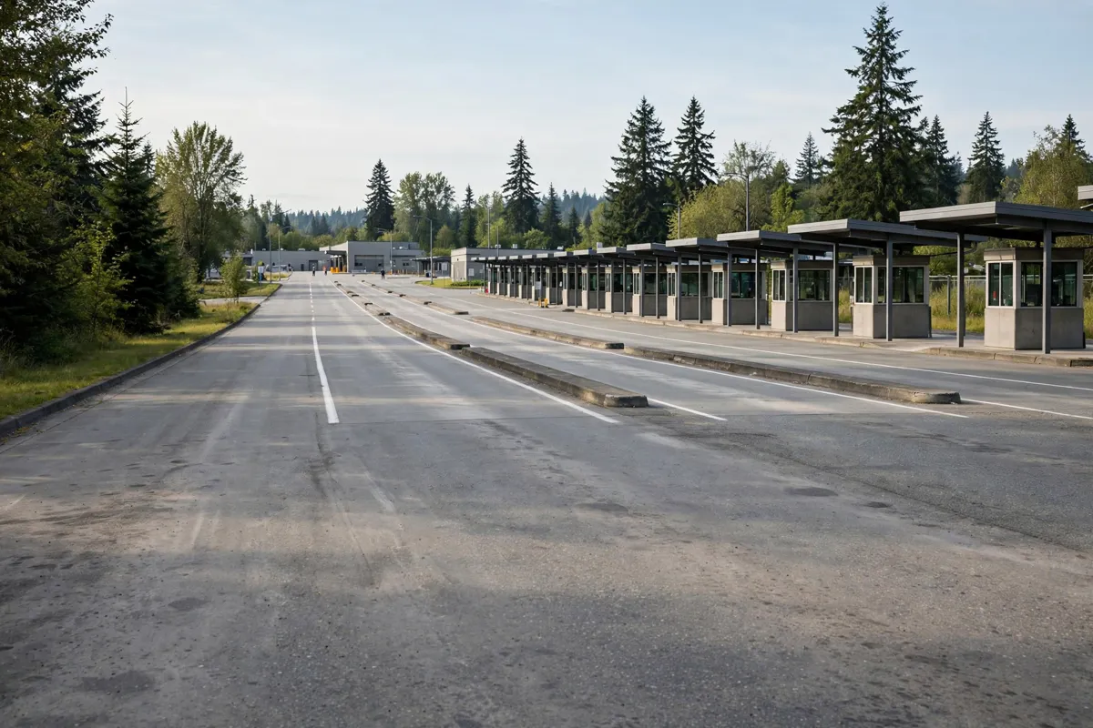
Check official U.S. and Canadian border tools close to departure because wait estimates and lane availability can change. The U.S. Customs and Border Protection (CBP) wait-time tool provides passenger-vehicle estimates and open-lane information for Peace Arch and Pacific Highway; displayed values are time-stamped.
In the CBP tool, select the passenger-vehicle option and the port of entry you plan to use. The live table separates general-traffic, Ready Lane and NEXUS categories, and shows commercial-vehicle and pedestrian categories where available. A port-specific wait-time page is also available for Blaine–Peace Arch.
For travel into Canada, estimated waits are available for Pacific Highway and Douglas (Peace Arch). Allow extra time for roads leading to a port of entry; border estimates cover the crossing wait only.
Before you go, check the official site before you go: consult CBP and CBSA for current wait times and operating information.
What documents do you need to cross?
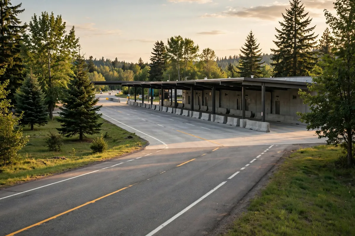
Entry documents depend on your citizenship, status and direction of travel. Confirm the requirements for everyone in your vehicle before leaving, including children.
For U.S. citizens entering Canada, a valid passport is recommended. A birth certificate, citizenship or naturalization certificate, and U.S. enhanced driver’s licence are examples of documents that can show citizenship. A U.S. border officer determines whether a traveler can enter Canada by confirming identity and U.S. citizenship or permanent-resident status.
U.S. citizens, including children, entering the United States by land or sea must present a valid travel document that complies with the Western Hemisphere Travel Initiative. Examples include a U.S. passport or passport card, enhanced driver’s licence, enhanced tribal card, and Trusted Traveler Program cards.
If you use a dedicated SENTRI or NEXUS lane to enter the United States, every passenger in the vehicle must be a Trusted Traveler Program member and present their own card. Visa Waiver Program travelers entering the United States by land must obtain an approved ESTA before applying for admission at a land border port of entry.
How should you choose a crossing for your route?
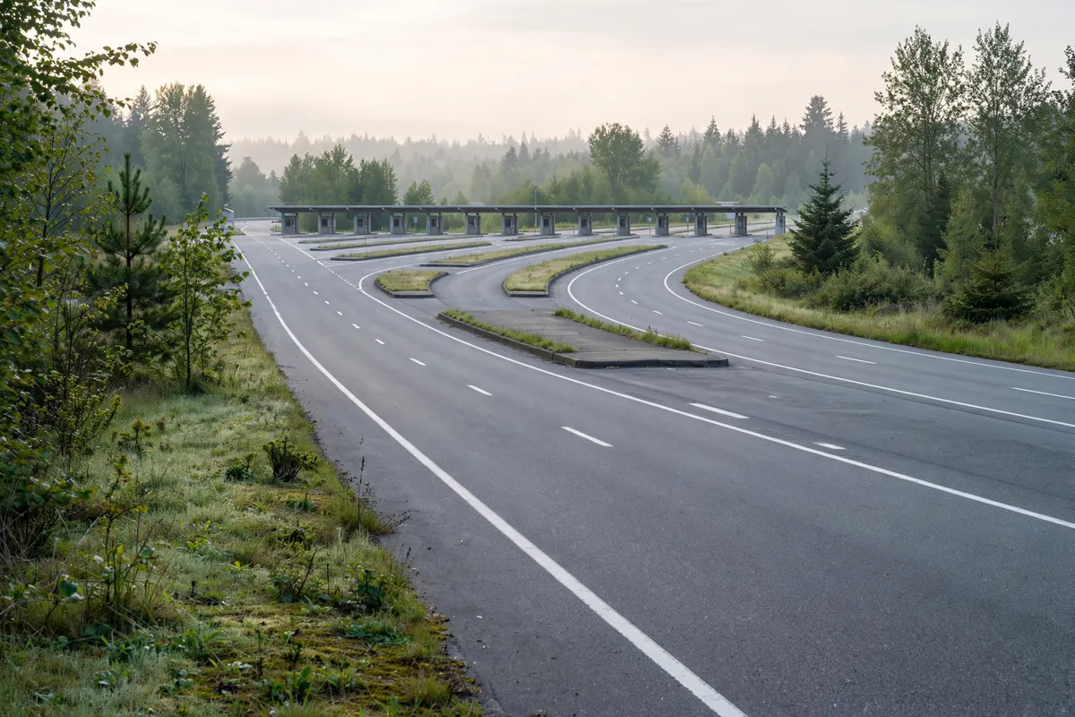
Choose between Peace Arch and Pacific Highway by comparing the live estimates for your vehicle category and destination. A shorter border estimate does not account for delays on roads leading to the port, so include the approach roads in your decision.
Use CBP’s passenger-vehicle selector and port-of-entry options for the U.S. side. For travel into Canada, the ports are Douglas (Peace Arch) and Pacific Highway. General traffic, Ready Lane and NEXUS are separate passenger-vehicle categories. Canadian wait estimates are for travel into Canada.
The processing goal for Ready Lanes is 50% of general-traffic-lane wait times, infrastructure permitting. Treat that as a goal rather than a promise about the wait on your travel day. If you are arriving by air before heading to the border, the route from Bellingham International Airport to Blaine can help you plan the drive.
What should you plan for onward travel in Blaine?
Once you have chosen a port and checked the requirements, plan the rest of your trip around your arrival point in Blaine. Anchor Inn Motel is about 3 minutes by car from Peace Arch International Monument.
For local orientation after crossing, plan around Blaine city centre. For requirements to enter or return to the United States, consult CBP as well as the current crossing information.
FAQs
What are the two main crossings near Blaine?
They are Blaine–Peace Arch and Blaine–Pacific Highway. Peace Arch is called Douglas on the Canadian side.
Where can you check waits for travel into Canada?
The CBSA wait-time page provides estimates for Douglas (Peace Arch) and Pacific Highway. Approach-road delays are separate from border estimates.
Can every passenger use a SENTRI or NEXUS lane into the United States?
Yes, provided every passenger is a Trusted Traveler Program member and presents their own card when the vehicle uses a dedicated SENTRI or NEXUS lane.
Where can you get local orientation in Blaine?
The practical guide to Blaine City Centre covers the area.